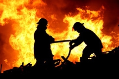
Each year thousand of hectares of agricultural and wooded surface are destroyed by fires due to natural, fraudulent and accidental causes, with high costs in terms of human lives and ecosystem. The Civil Protection need to update in a practical and fast way the information, to manage the cartography and the related data in short time, making the remote sensing and Geographic Information Systems operational tools of fundamental importance in the risk prevention& (seismic, hydrogeological and fire risk).
Satellite images represent an important information source to monitor emergencies, to quantify the risks, to detect fires and to estimate the damages. This information is essential both for the Public Administration involved and for the insurance companies that deal with this kind of risks. Therefore, the detailed maps of the event represent a support risk evaluation activity and a contribution to the definition of models to be used for the planning of structural and modification interventions.


