We are living in a scenario where data is increasingly becoming a commodity and Earth observation (EO) data providers are increasing exponentially.
In different application contexts the combined and synergistic use of data from different missions, ranging from medium resolution optical hyperspectral, to high resolution multispectral, to synthetic aperture radar, is desirable, if not necessary, for extraction of information and the exploitation of all information potential.
Kadmos is a suite of services that enables the combined and synergistic use of data from various missions, ranging from medium resolution optical hyper-spectral, to high-resolution multi-spectral, to synthetic aperture radar. It is able to use together institutional Copernicus missions with New Space data provider, building a common reference layer with uniform quality and a harmonized metadata set. Precise co-registration and inter-calibration operations between the different sensors are needed to normalise the custom responses and prepare the reference for information extraction and data exploitation in general.
Services include a set of capabilities ranging from Level-0 to Level-2 “standard” processing steps, implementing correction algorithms for residual geometrical deformation and radiometric inaccuracies, relying on knowledge base with a worldwide coverage, made by a set of targets and control points of well assessed and maintained quality. This base is automatically built and updated, thanks to the combined usage of time series from different missions on specific “ground control truths” characterized by the precise knowledge of their geometrical position and/or stable radiometric response.
 It is provided on a cloud infrastructure and can be integrated in any standard mission payload data ground segments workflow.
Kadmos Service Suite
Innovative EO services:
- Fornire l'elaborazione dei dati del payload EO "as-a-service".
- Da raw data a dati pronti per l'analisi (ARD)
- Elaborare i dati satellitari di qualsiasi piattaforma e di qualsiasi fornitore fino al livello ARD, garantendo una qualità uniforme e un set di metadati coerente
- Provide EO payload data processing as-a-service
- From raw to analysis ready data (ARD)
- Process satellite data from any platform and any provider to ARD level guaranteeing uniform quality and consistent metadata set Define a base information layer to build added-value services on top of it
Check and enhance the quality of off-the-shelf EO data products:
- Optical multi- & hyper-spectral
- Synthetic Aperture Radar
- Radiometric & Geometric performances
 Kadmos and Sen3GCP
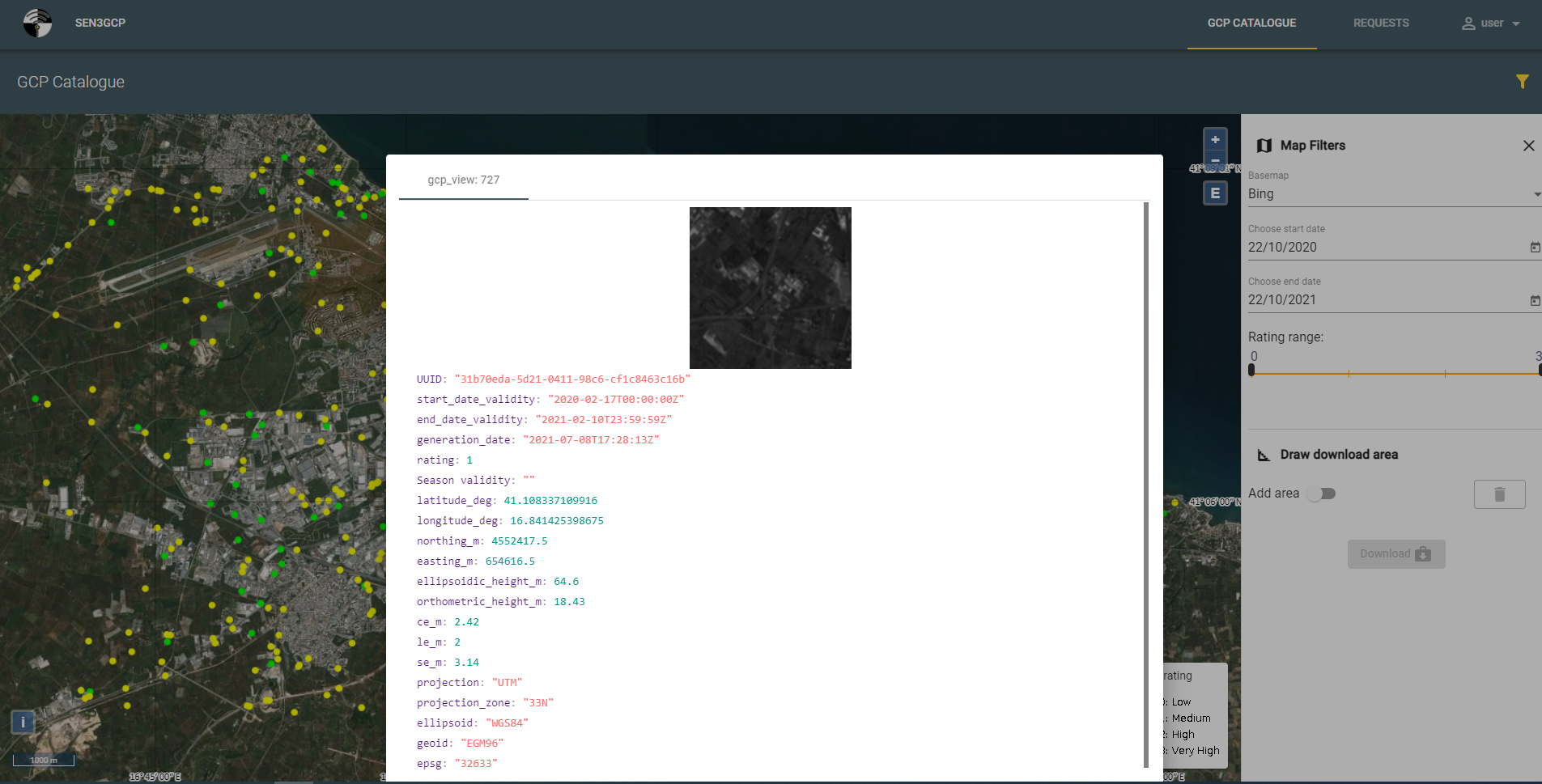
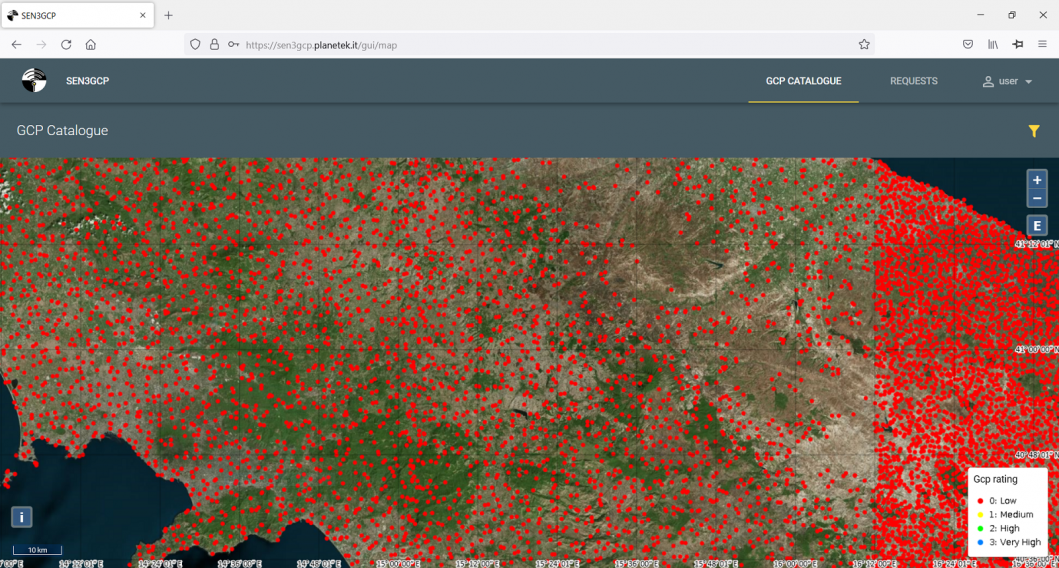
Sen3GCP stands for Sentinel for 3D Ground Control Point a project activity funded by ESA via the EO science for society Permanently Open Call mechanism that has designed and implemented a GCPs-based service hub. Kadmos services exploits the SEN3GCP components to provide the precise geocoding, orthorectification and co-registration operational service:
A Worldwide GCPs repository
SEN3GCP gives access to a global coverage GCPs database, also including inaccessible areas of the Earth and several versions of the same GCP (covering different time ranges or quality). An easy-to-use interface enables requesting, visualizing, and downloading the data, also by machine-to-machine interfaces.
Optical/SAR images co-registration
3D information derived from SAR data are associated to an optical image chip centered at the control point position, after a fine registration of the SAR and optical datasets. Such registration can be applied to any acquisition times, sensors, and viewpoints combinations.
Optical images orthorectification and co-registration
The functionality performs an automatic matching between the optical image and the GCP optical chip. This step is executed using a feature and frequency algorithm based on Fourier-Mellin transform to estimate residual errors between GCPs and matched point over the optical image. The matching conditions allow to refine the image's geocoding model or to build a new RPC model for non-geocoded images.

